CORS NETWORK

CORS NETWORK

CONNECT, CORRECT & MEASURE 
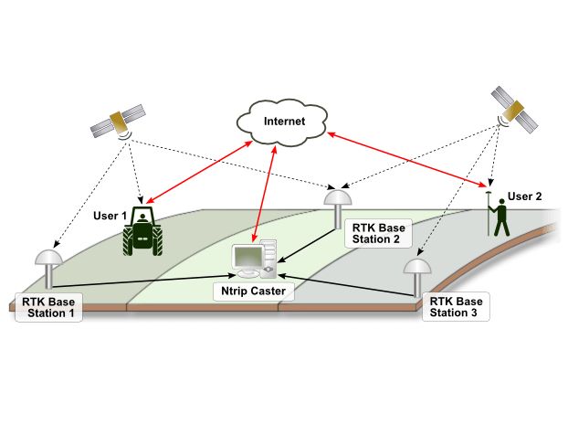
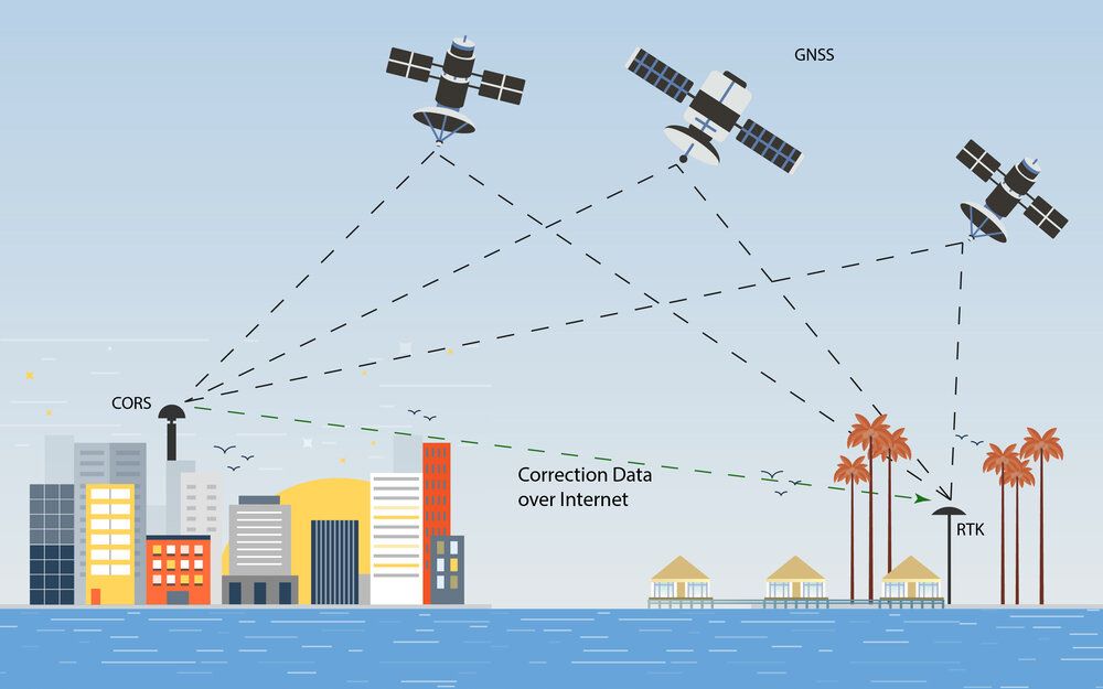
Effective, easy to use and always active. With the added bonus of absolute, repeatable accuracy, meaning that you can work without positioning errors and operational delays. Thanks to a modern GNSS CORS network we provide a unique RTK correction service that you can rely on.

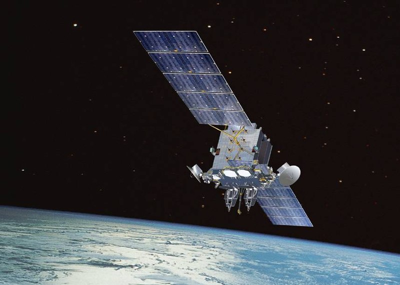
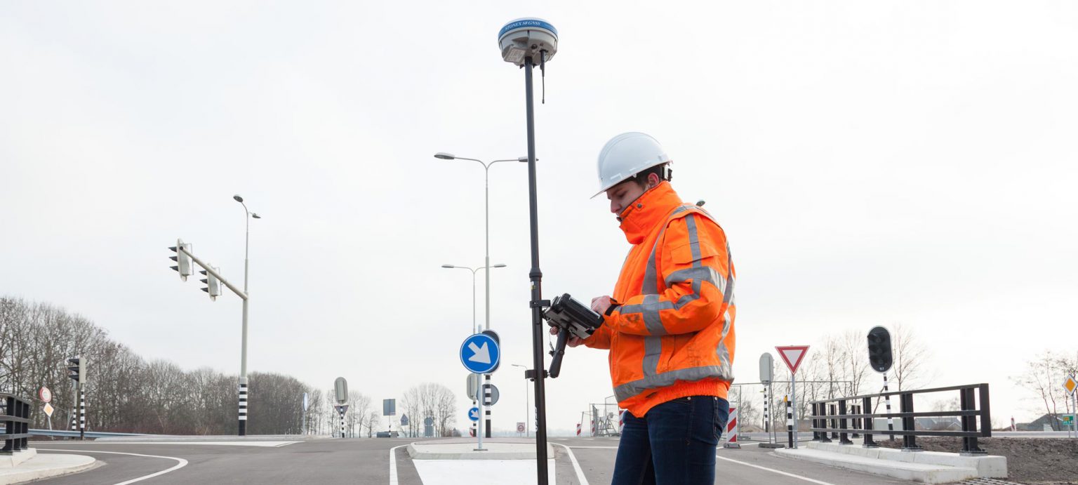
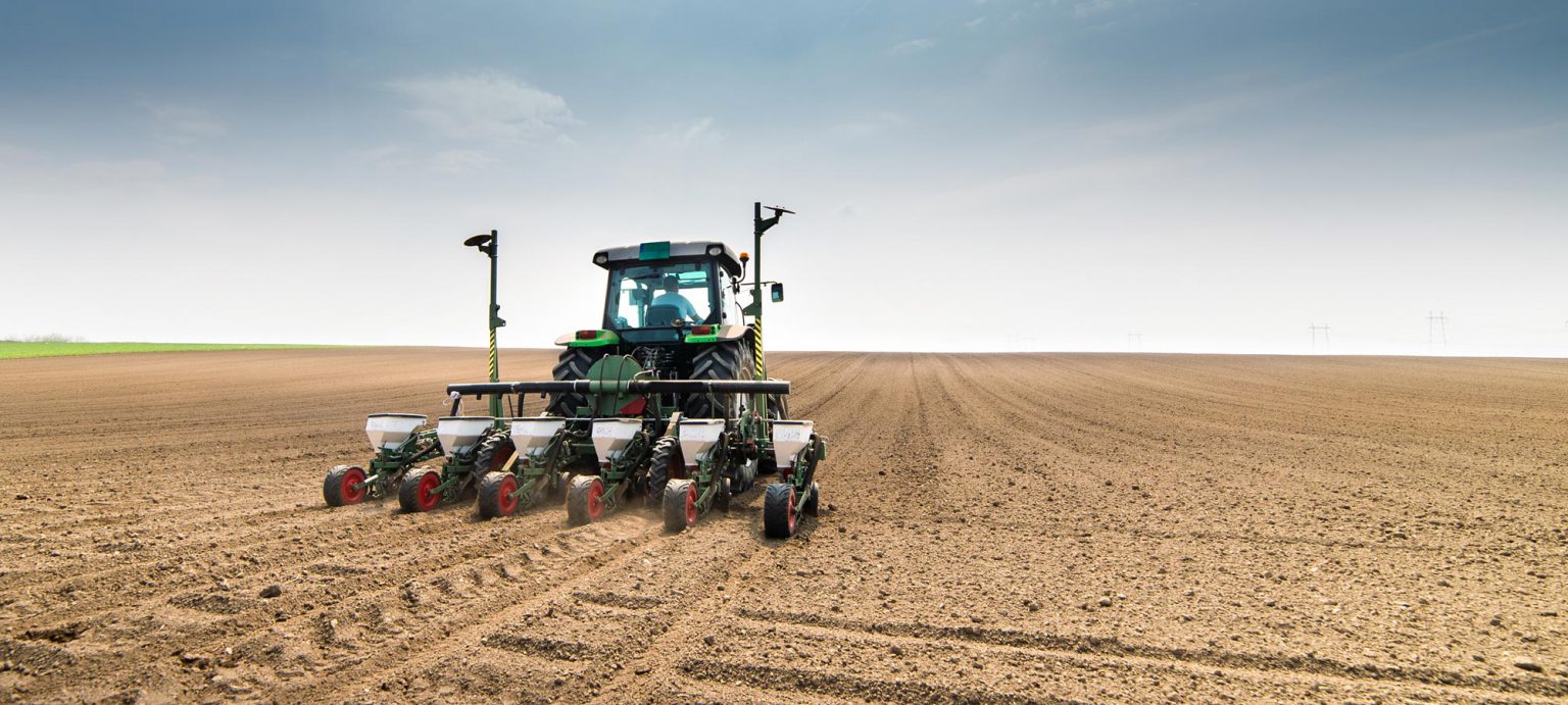
All our activities focus on developing, operating and maintaining a hypermodern geodetic reference network for high-accuracy localization and positioning based on RTK GNSS technology for professional applications, including land surveying, stake-out, 3D machine control, precision farming and the use of drones for mapping and inspections. When you use the VRS network, you benefit from homogeneous and repeatable accuracy 365 days a year, including GPS, GLONASS, GALILEO and BEIDOU corrections

Features & Benefits:

  • Instant access to real-time kinematic (RTK) corrections
  • Centimeter-accurate corrections tailored to your geographic location
  • Built-in redundancy to ensure connectivity, consistency and quality
  • Cost-effective and simple to use
  • Professionally-managed and secure
  • Streamlined workflows, done right the first time

Why Do I Need VRS Corrections?

The use of VRS corrections helps ensure the accuracy of GNSS data, independent of the distance to the nearest reference station.

Aren't VRS Corrections Just for Surveyors?

The need fore reliable and accurate positioning is not limited to surveying!

Today, a variety of industries, including electric and gas utilities, water and wastewater services, and land management projects require mapping products that provide decimeter or better accuracy positioning in real-time.

LAND SURVEYING

You can perform all your surveying work more efficiently, and with unsurpassed high accuracy. Surveying, Stake-Out, monitoring and measurement of geodetic reference points are just a few examples of the many capabilities offered by the network services. Because the service supports GPS, GLONASS, GALILEO and BEIDOU, you can make optimal use of your RTK GNSS receiver.

MACHINE CONTROL

When deploying 3D machine control in sectors such as civil engineering and construction, We provides the most optimal positioning solutions for GPS guidance. No matter whether your work involves profiling embankments or pile driving using RTK GNSS: our correction services ensure that you can work more efficiently and continuously rely on the highest level of service and centimeter accuracy. Day and night, all year round.

PRECISION FARMING

Regardless of what you are growing or farming, VRS delivers the most optimal and brand-independent positioning solutions for GPS control and precision farming with a row-to-row accuracy of less than <2 centimeters. Thanks to state-of-the-art infrastructure and support for GPS, GLONASS, GALILEO and BEIDOU, you can sow, tend and harvest your crops 365 days a year with optimal accuracy.

DRONE MAPPING

Drone operators benefit from the highest accuracy and optimal availability for 3D mapping, inspections, surveillance and farming applications with the VRS network. Improve the camera positions of your RTK drone in real time, measure GCPs (ground control points) with your RTK GNSS rover with centimeter accuracy or use RINEX data if your drone is equipped with a PPK module.