Description
Trimble Yield Monitor
The Trimble Yield Monitor production mapping system is adapted to any type of combine harvester for the purpose of monitoring, collecting, recording and evaluating crop parameters such as yield and moisture.
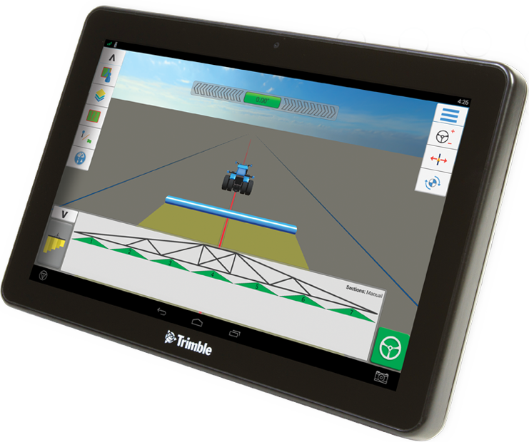
The architecture of the system is divided into standalone sensor systems that are adapted to the combine harvesters to record harvested yield, moisture and cutting height at each point in the field. This recorded information is captured in real-time on the GPS screen inside the cabin, generating a yield map showing the performance of the field at each point. With the Trimble Yield monitor yield mapping system you have the following capabilities:
Tracking Varieties:
Mapping and comparing yields between different varieties within the same field
Freight Tracking:
Recording of loads emptied on transport trucks.
Moisture Monitoring and Recording:
Easy decision-making about the process of threshing and the way cargoes are handled (shipped to a dryer or storage)
Automatic cutting width change:
Automatically change the cutting width when the harvester enters the output fields in an already threshed area for optimum logging and mapping.
Crop data analysis:
Use Trimble Ag Software® to edit the Trimble Yield Monitor crop data, and analyze the results of your cultivation methods. Locate high and low yield areas in your fields and plan your cultivation plan for the next year more effectively. Use the crop data to select the most productive hybrid for your parcels and generate cost-benefit reports per acre.
Design & Preparation
Apply the results of the crop data analysis and plan the crop plan for the following year. Create variable sowing, fertilizing and spraying maps, according to the real needs of the fields per zone, reducing input costs and increasing the efficiency of field work. Compare performance maps with moisture data and identify potential irrigation / drainage problems in your fields.